Rain and storm threat build for southeast Louisiana this week
A cold front arrives Tuesday night, bringing severe weather risks and dropping temperatures by the weekend.
By Samira Khalil ·
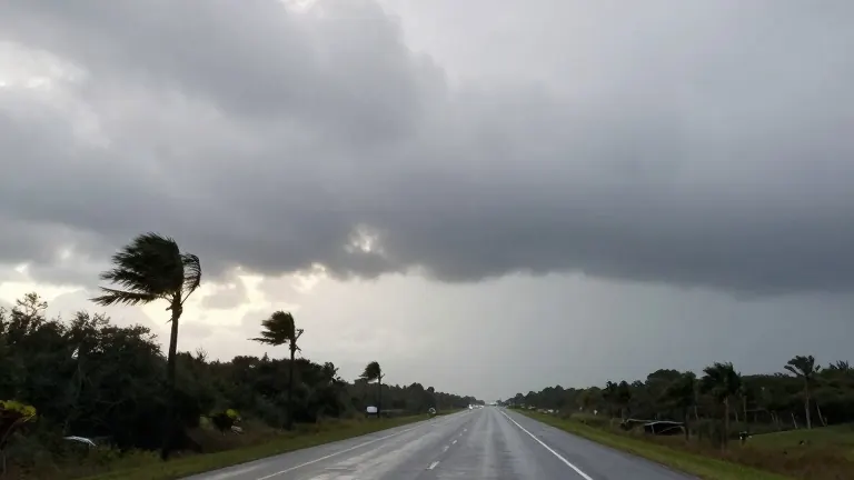
Meteorologists report that a more active weather pattern is moving into southeast Louisiana and southern Mississippi. Rain chances will persist through the middle of the week as a cold front approaches the region.
Conditions begin with a mostly cloudy Monday. Winds will blow from the east, keeping temperatures warm with highs in the upper 70s. A slight chance of passing showers exists for the day.
The weather turns more active on Tuesday, which is Election Day. Highs will climb into the low 80s before the front arrives. A few showers and thunderstorms may develop during the day. The better chance for widespread rain and storms is expected Tuesday night.
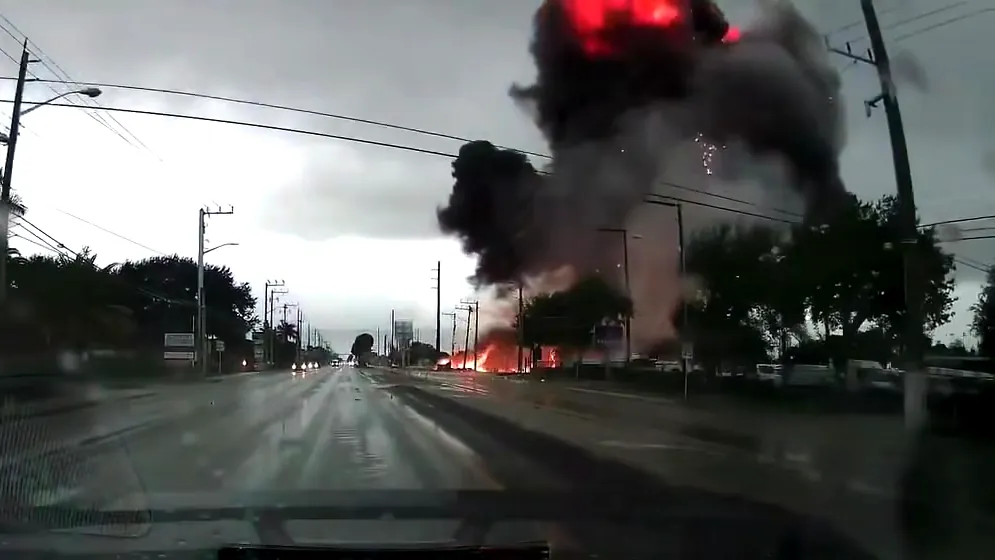
Strong to severe storms are possible from Tuesday night into early Wednesday. The approaching system is expected to bring a round of showers and thunderstorms as the cold front moves through. Some of these storms could become severe.
Forecast models still show differences regarding how the system will develop and move. These details will determine how widespread the storms become and the magnitude of the severe weather threat. Clarity on the forecast should improve as the system moves closer.
Cooler and drier air will settle in behind the front. Highs will fall into the mid-70s by the end of the week. Rain chances will decrease as conditions dry out. Another push of cooler air could arrive next weekend, potentially bringing temperatures down into the lower 70s.
Coastal flooding remains a concern along the shoreline. Persistent easterly winds will continue to contribute to minor coastal flooding during high tide. Winds may briefly ease over the Gulf but are expected to remain out of the east through Monday. They will increase to around 15 to 20 knots over open waters. A Coastal Flood Advisory remains in effect for portions of the Louisiana and Mississippi coast where minor flooding is expected.
Source: WVUE-DT